2.7 Coordinate Systems
The next term from the Grammar of Graphics that can be specified is the coordinate system. As with scales, coordinate systems are specified with functions that all start with coord_ and are added as a layer. There are a number of different possible coordinate systems to use, including:
coord_cartesianthe default cartesian coordinate system, where you specify x and y values (e.g. allows you to zoom in or out).coord_flipa cartesian system with the x and y flippedcoord_fixeda cartesian system with a “fixed” aspect ratio (e.g., 1.78 for a “widescreen” plot)coord_polara plot using polar coordinatescoord_quickmapa coordinate system that approximates a good aspect ratio for maps. See documentation for more details.
# zoom in with coord_cartesian
ggplot(mpg, aes(x = displ, y = hwy)) +
  geom_point() +
  coord_cartesian(xlim = c(0, 5))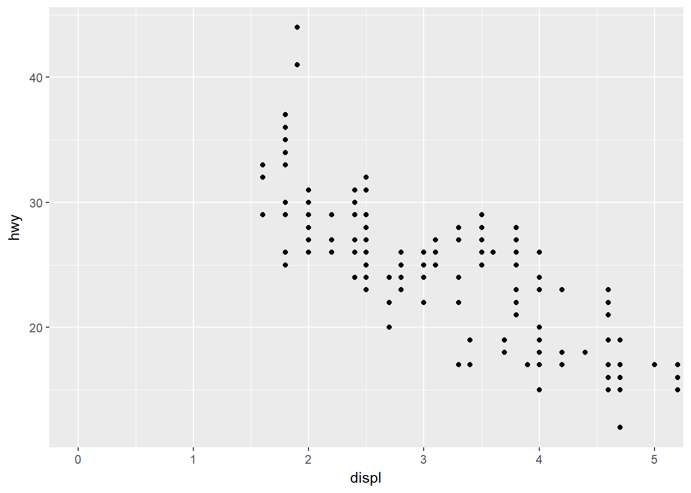
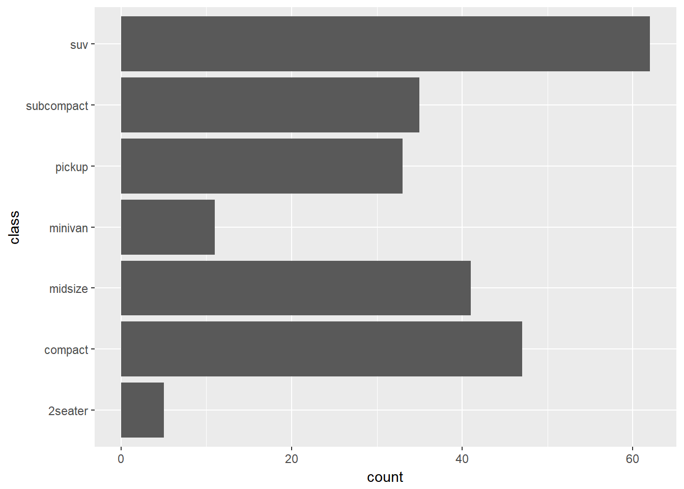
# flip x and y axis with coord_flip
ggplot(mpg, aes(x = class)) +
  geom_bar() +
  coord_flip()